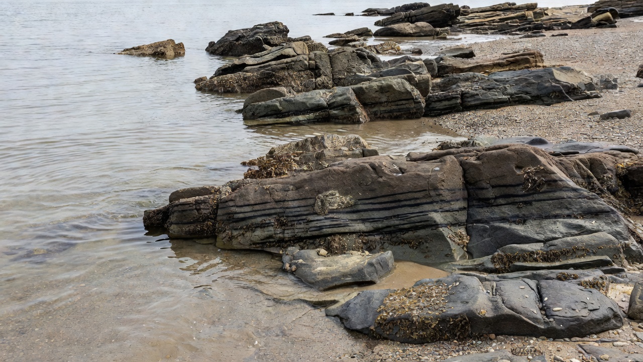
Look at what the water covers
At a beach, tide is often easiest to notice through changing landmarks. A rock disappears, a strip of wet sand widens, or waves begin reaching a seawall. Those changes alter where waves break and which routes remain usable. They can happen while the offshore swell appears almost unchanged.
Tides arise mainly from the gravitational effects of the Moon and Sun, together with Earth’s rotation and the ocean’s response to basin shape and depth. Many coasts have two high and two low tides in a lunar day, but daily patterns vary. Do not assume that the schedule or range at one coast applies to another.
A tide prediction is not the whole water level
Tide tables predict the astronomical component of water level relative to a stated datum. The datum is a reference surface, not necessarily the sand beneath your feet. Forecast providers may use different references, so compare like with like when reading numerical heights.
Observed water can depart from the prediction because of wind, atmospheric pressure, storm surge and other effects. Breaking waves can raise the average nearshore level through wave setup, while individual waves run farther up the beach. A predicted high tide therefore does not tell you exactly how far the largest wave will reach.
The NOAA Tides & Currents service distinguishes water-level observations and predictions for its stations. For Britain and Ireland, consult the relevant national or harbour authority sources and their stated reference levels. Always use information intended for the location, rather than copying a distant port’s times without an approved adjustment.
Depth changes the breaking pattern
A sandbar that makes waves break at lower water may become too deeply covered to do so in the same way at higher water. Elsewhere, additional depth can let swell reach a steep beach and produce forceful shorebreak. These contrasting outcomes explain why “high tide is better” and “low tide is safer” are unreliable general rules.
Sandbars and channels are mobile. Storms can move sediment, reshape a river mouth and change the route taken by returning water. Reefs and rocks are more permanent, but the depth above them changes. Familiarity with a beach is useful only when combined with attention to what is happening now.
Water level and current are different measurements
The time of high water is not automatically the time of slack current. Tidal currents depend on local geography and can be delayed relative to the rise and fall of water level. Inlets, harbour entrances and narrow channels deserve particular caution because flow can be strong and complicated.
Rip currents are another process. They are concentrated flows away from shore, commonly driven by breaking-wave patterns and shaped by bars, structures or channels. They can exist at different tide stages. A tide chart cannot diagnose every rip, and a gap with fewer breaking waves is not necessarily a safer place to enter.
Read wind relative to the shore
Onshore wind blows from sea toward land. It often adds short, irregular surface waves and can make the surf look disordered. Offshore wind blows from land toward sea. It may hold up a crest and smooth parts of the wave face, but stronger offshore flow can make paddling and returning to shore more difficult.
Cross-shore wind blows broadly along the coastline. Its effect depends on strength, nearby headlands and the existing sea state. A wind direction that is offshore on one side of a peninsula can be onshore on the other. “Easterly” means from the east; it does not mean offshore everywhere.
Local winds can differ from a regional forecast because cliffs, valleys and buildings steer the flow. Sea breezes may develop as land warms, while gusts can arrive with changing weather. Look for texture changes, spray direction and moving flags, but do not assume those observations measure the full strength of wind offshore.
Build a shore-based picture
From a position beyond wave reach, observe several sets and note the tide trend, usable exits, shorebreak and obvious changes in current. Ask lifeguards about local hazards. If the water is rising, consider whether your walking route could be cut off before you return. Headlands and rocky platforms can become dangerous well before the beach itself disappears.
Places such as the Severn Estuary and Bay of Fundy demonstrate how large tidal ranges can be, while other coasts experience much smaller changes. Neither category removes the need for caution. A modest water-level change over a shallow reef can matter greatly, and wind-driven conditions can be hazardous even where the astronomical tide is small.